
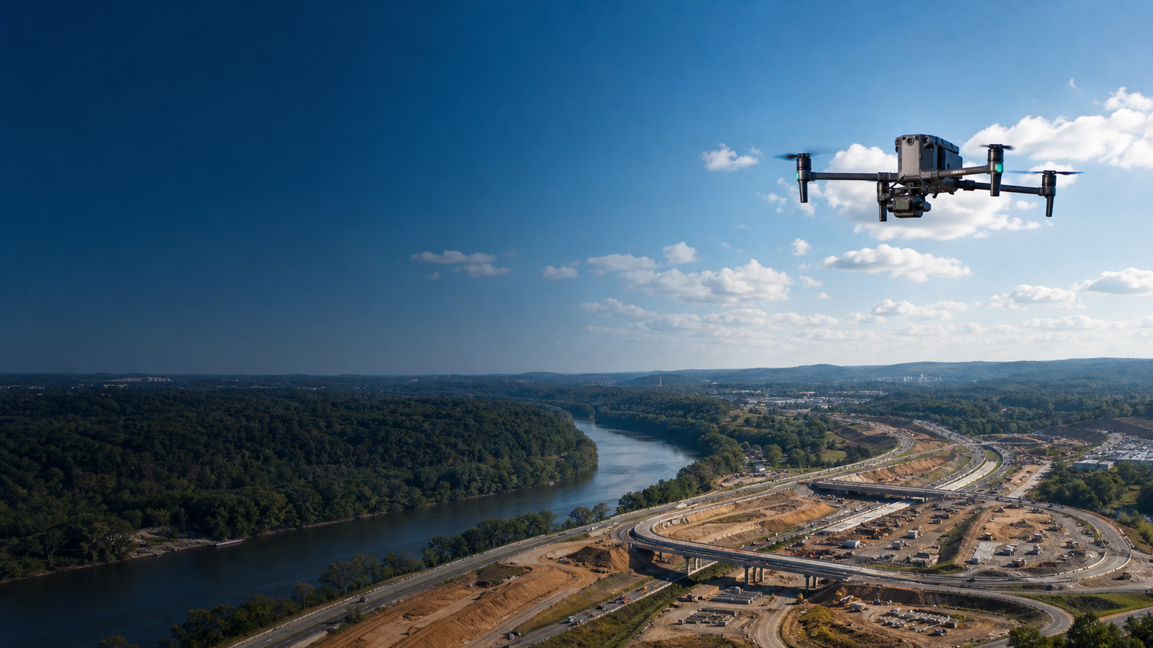
Aerial Intelligence for Real-World Decisions.
Professional drone mapping, inspections, and GIS support for construction, infrastructure, public safety, and property projects across Northern Virginia.
Our Services
-
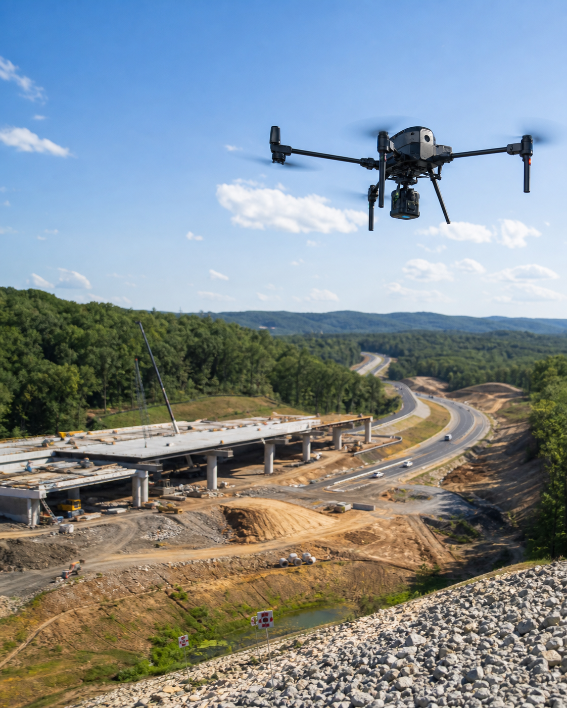
High-resolution aerial imagery, georeferenced orthomosaics, and 3D surface models for measurement, site planning, documentation, and informed decisions.
-
Detailed aerial inspections for roofs, façades, towers, utilities, and hard-to-reach assets, organized with location context and practical observations.
-
Spatial analysis, measurements, data integration, and map-ready deliverables that turn aerial capture into usable project intelligence.
-
Repeatable aerial capture and clear visual comparisons that document project progress, site conditions, and changes over time.
Who We Are
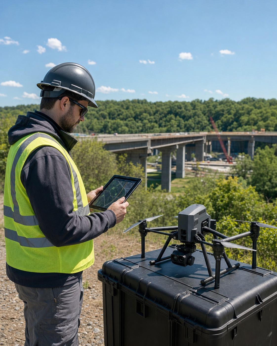
Vantage Geo Intelligence is a Northern Virginia drone and geospatial services company. We plan each flight around the decision you need to make, then deliver organized imagery, measurements, maps, and reports your team can actually use.