

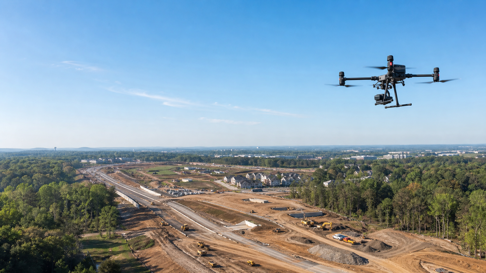
Drone Mapping, Inspection & GIS Services
Capture your project clearly. From aerial mapping and infrastructure inspections to GIS-ready deliverables, we provide geospatial documentation that supports planning, review, and operational decision-making.
Professional. Precise. Actionable.FAA Part 107 Certified
Northern Virginia
GIS-Ready Deliverables
Secure & Confidential
What We Deliver
Four core services turn current aerial capture into practical information your team can review, share, and use for planning.
-
Georeferenced aerial maps and 3D surface models for visual analysis, planning, documentation, and approximate measurements when appropriate.
-
Detailed visual inspections and organized findings that support maintenance planning, safety review, condition documentation, and compliance.
-
GIS-ready layers, map exhibits, and spatial analysis that turn aerial capture into clear decision support for your team.
-
Repeatable aerial records and side-by-side comparisons that make project change, construction progress, and current site conditions easy to understand.
A Clear Process from Site Question to Usable Deliverable
01 — Define the decision
We confirm the site, objective, schedule, access requirements, and the exact files your team needs.
02 — Plan and capture
We coordinate the flight and collect current aerial data safely, methodically, and with the intended deliverable in mind.
03 — Process and verify
We organize the imagery, build the maps or models, and review the results for consistency and usability.
04 — Deliver and explain
You receive practical files, clear visual records, and a straightforward explanation of what the data shows.
Featured Deliverables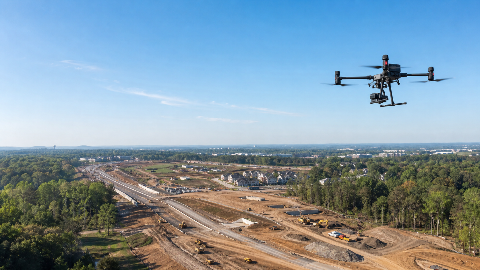
Orthomosaic Mapping & GIS Intelligence
See the full site as one accurate, current map—not a collection of disconnected photos. Deliverables can include georeferenced orthomosaics, measurement-ready maps, 3D surface models, GIS layers, map exhibits, inspection imagery, and repeatable progress records.

Start a Project InquiryTell us what you need to see, measure, inspect, or document. Include the project location, your objective, and your preferred timing. We’ll review the details and recommend a practical next step.