PROJECTS
Aerial mapping and GIS work translated into decision-ready deliverables.
FEATURED DEMONSTRATION
Parking Lot Aerial Mapping & Condition Documentation
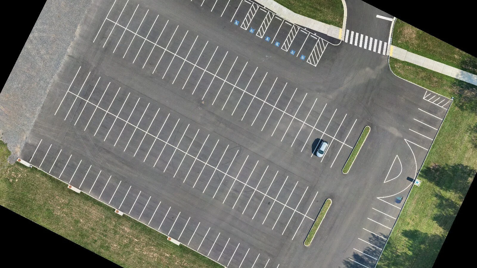
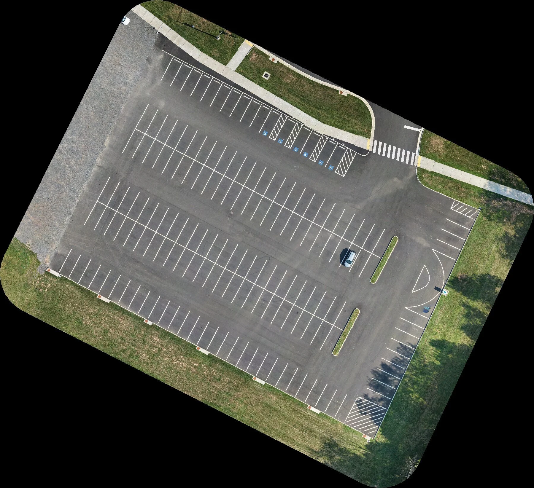
This independent training project demonstrates a complete aerial mapping workflow—from mission capture and photogrammetric processing to GIS analysis and client-ready presentation.
154 IMAGES CAPTURED • 153 ALIGNED • ORTHOMOSAIC • SURFACE MODEL • POINT CLOUD
The final imagery provides a clear, current view of pavement, striping, accessible-space markings, islands, curbs, sidewalks, and surrounding context. Deliverables were prepared for visual documentation, planning support, and workflow illustration.
WHAT WE DELIVERED
• High-resolution orthomosaic
• Digital surface model
• Colorized point cloud
• GIS-ready project layers
• Presentation map and QA documentation
Independent training demonstration. Not commissioned, approved, or endorsed by the property owner or any government organization. This example is non-survey and does not provide engineering, accessibility, boundary, or contractual certification.